WCGeo are nationwide providers of precision measured surveys, 3d laser scanning, site engineering and utility mapping services to the private, domestic and public sectors. Established in 2009, West Coast Geomatics have gone from strength to strength each year investing in the most up to date hardware and survey techniques to provide an efficient and accurate service.
Our Services
SURVEYING SERVICES
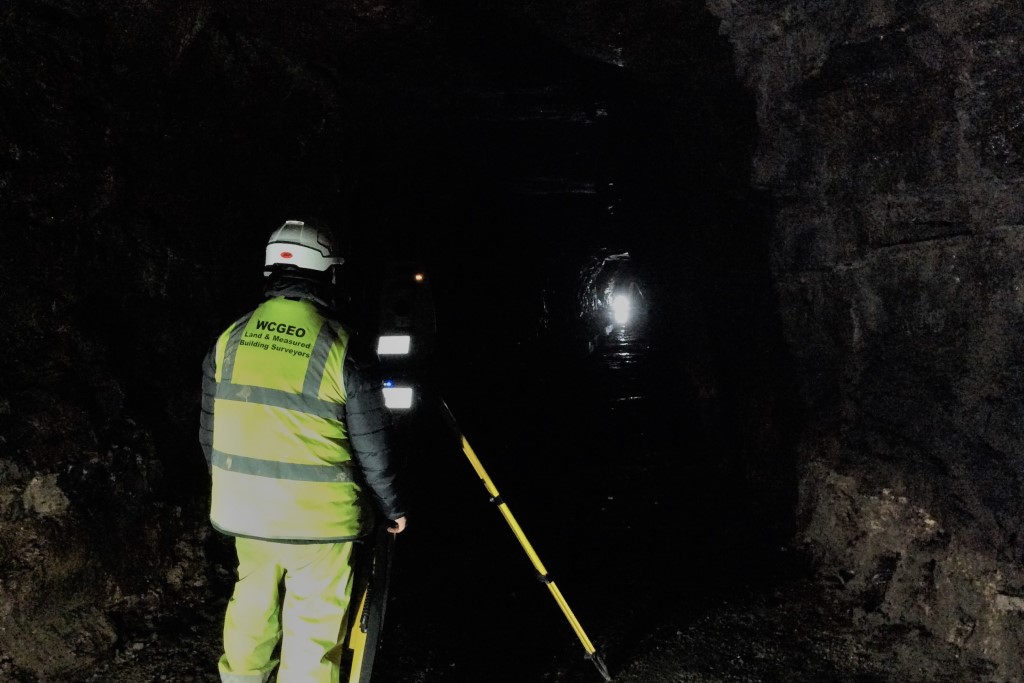
West Coast Geomatics offer a wide range of survey services to all sectors of the built environment such as Topographical Surveys, 3d Laser Scanning Services, Sub Surface Utility Mapping, Measured Building Surveys including Internal Floorplans & Elevations.
ENGINEERING SERVICES
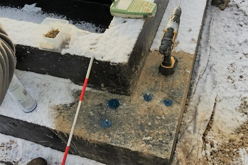
We can also provide a wide range of site engineering services to the construction industry such as Setting Out, Survey Control Networks, As-Built Surveys, GPS Surveying and Material Cut / Fill Volumetric Calculations.
AUTOCAD AND REVIT SERVICES
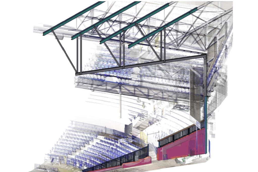
Our office team are equipped with the latest industry standard software such as AutoDesk’s design Suite including Revit & AutoCAD as well as our specialist surveying software meaning our technicians are able to deliver survey data in virtually any format.
